Hiking Vestvolden
Right on the edge of Copenhagen, this hidden gem deserves far more visitors than it gets.
Copenhagen’s old fortifications are a wonderland of shady trees and interesting military history with added chance to explore scary, dark bunkers.
Copenhagen is not exactly a hikers’ paradise, right? You come here for Nordic design and cuisine and hygge and Hans Christian Andersen, right? WRONG!
Just 20 minutes by train, and you will find Vestvolden (The West Wall or rather The Western Rampart). A 15 kilometer hike that will take you through a bit of Danish military history while also providing shady woodland and sheep filled meadows. What’s not to like?
All you need before hiking
You don’t need much help to hike Vestvolden, but there’s a few tips below that may be nice to know. Oh, and of course downloadable GPX files and inspiration in the form of a 2026 blog packed with photos. Or even better – watch my own hike on YouTube.
Should YOU hike this trail?
YES, you most certainly should.
I love living in central Copenhagen, but sometimes it’s a lot of people, bikes and cars in the narrow streets. Enter Vestvolden which is a quiet trail arching its way around the city centre. You don’t have to prepare a thing. Just hop on the train for a short ride and do this easy hike to calm your nerves among the quacking ducks by the moat and even have a bit of fun with exploring old fortifications and wooden giants.
Practicalities
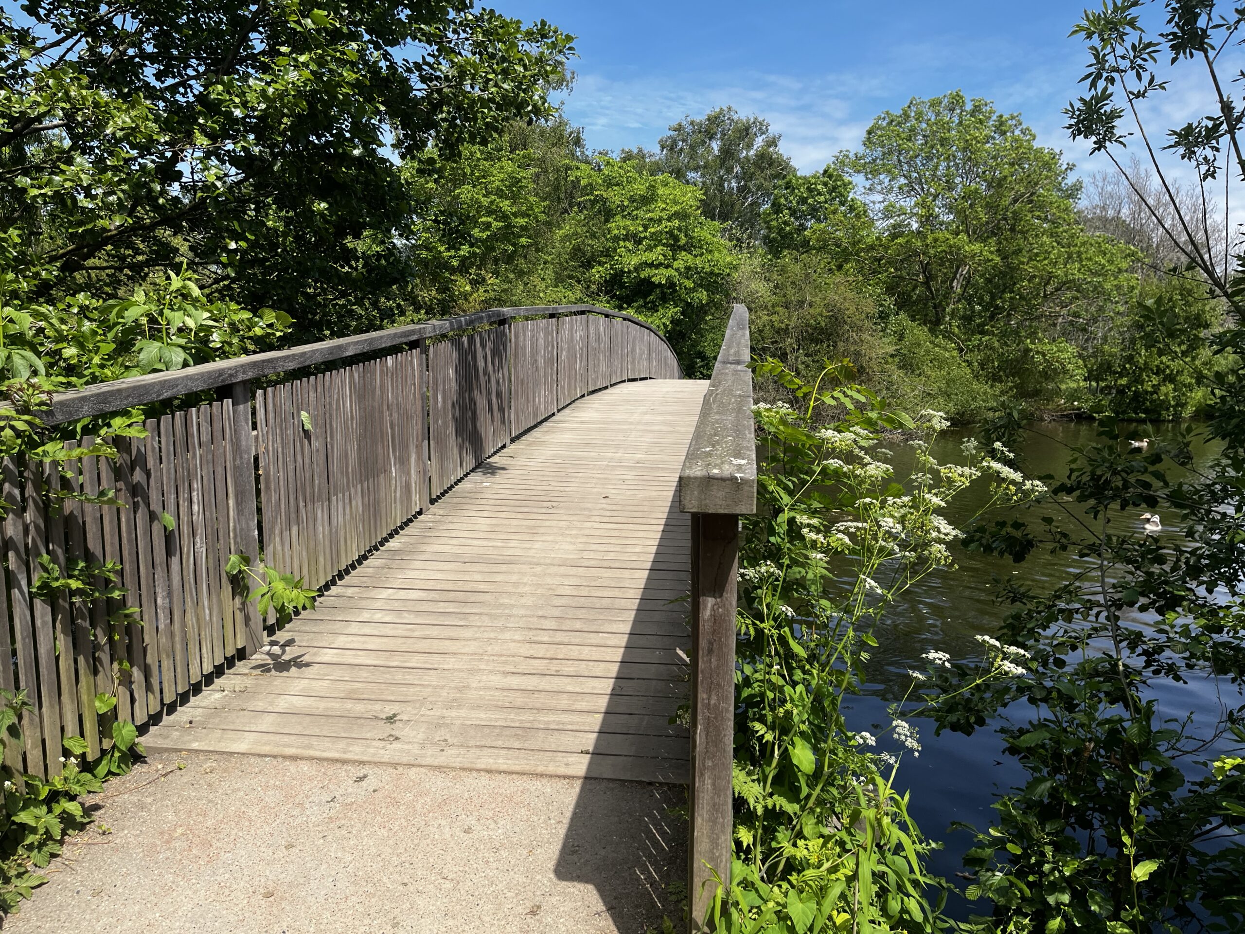
Vestvolden used to be a rampart and moat dotted with concrete fortifications. It was constructed after Denmarks’ humiliating defeat in 1864 by the superior Prussian army. A huge project, but ultimately futile since modern weaponry soon made the use of moats and dirt ramparts irrelevant. Today Vestvolden is overgrown by trees which makes it a weird long and thin woodland, that is perfect for a short and easy day-hike.
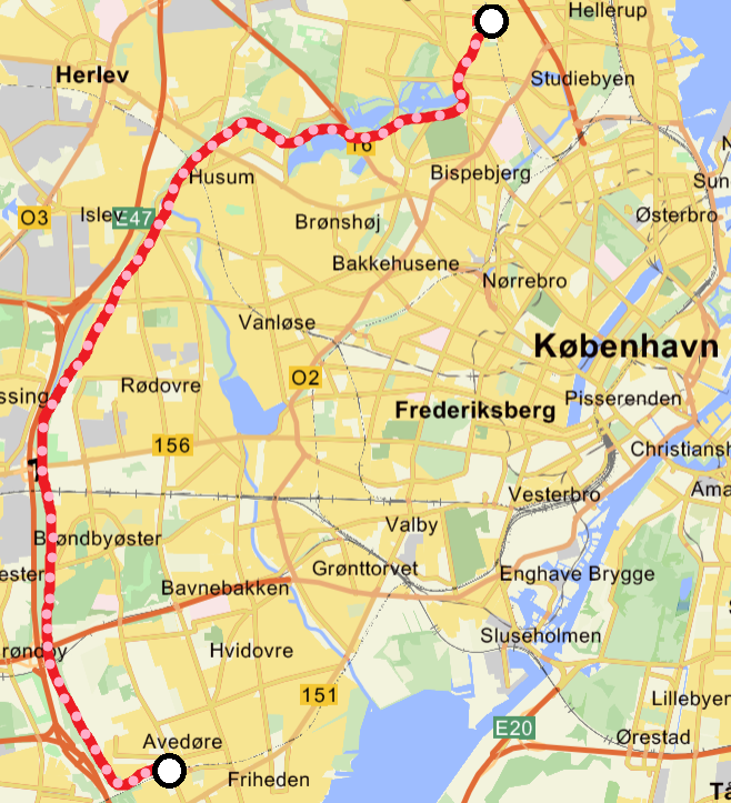
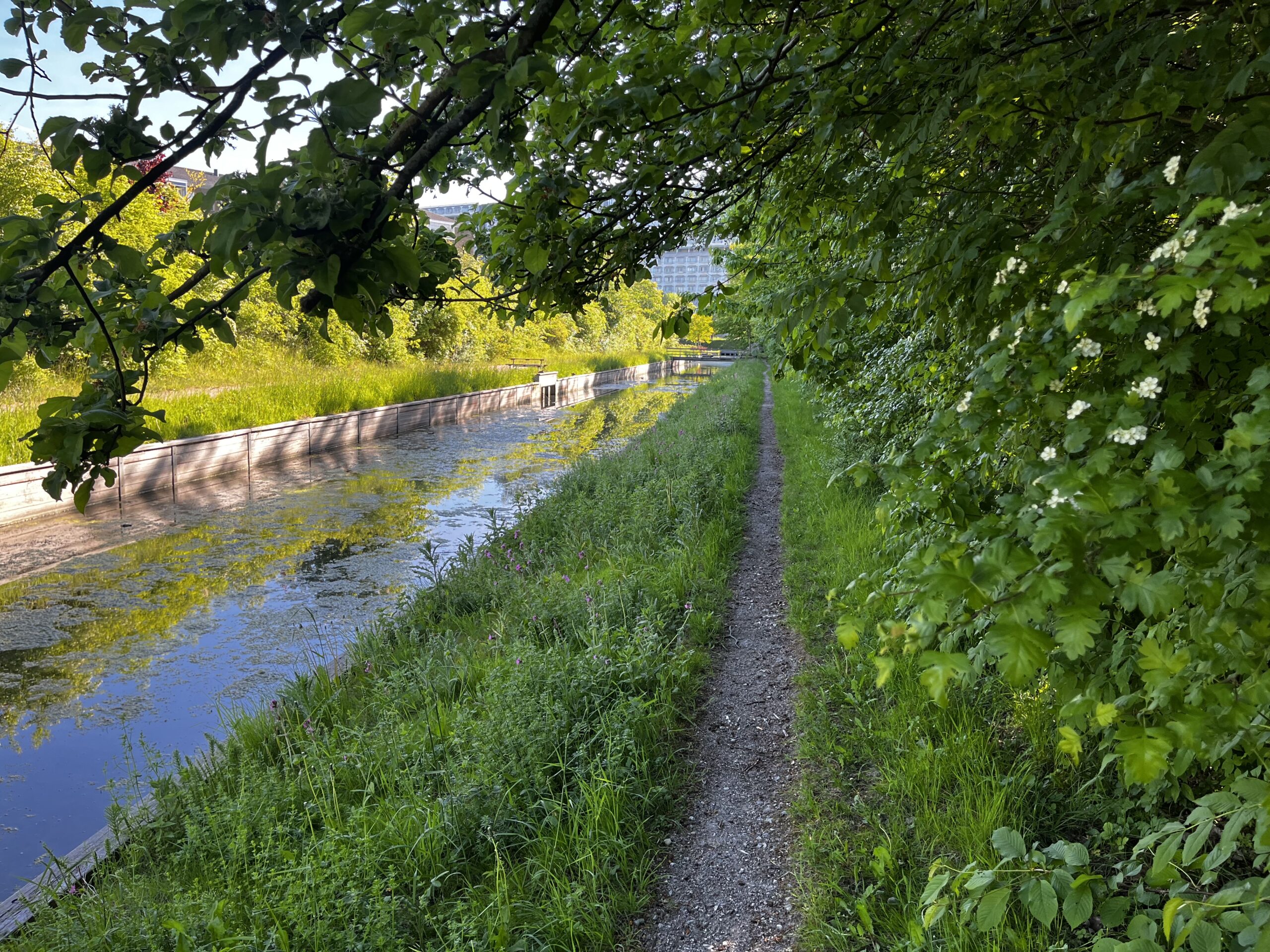
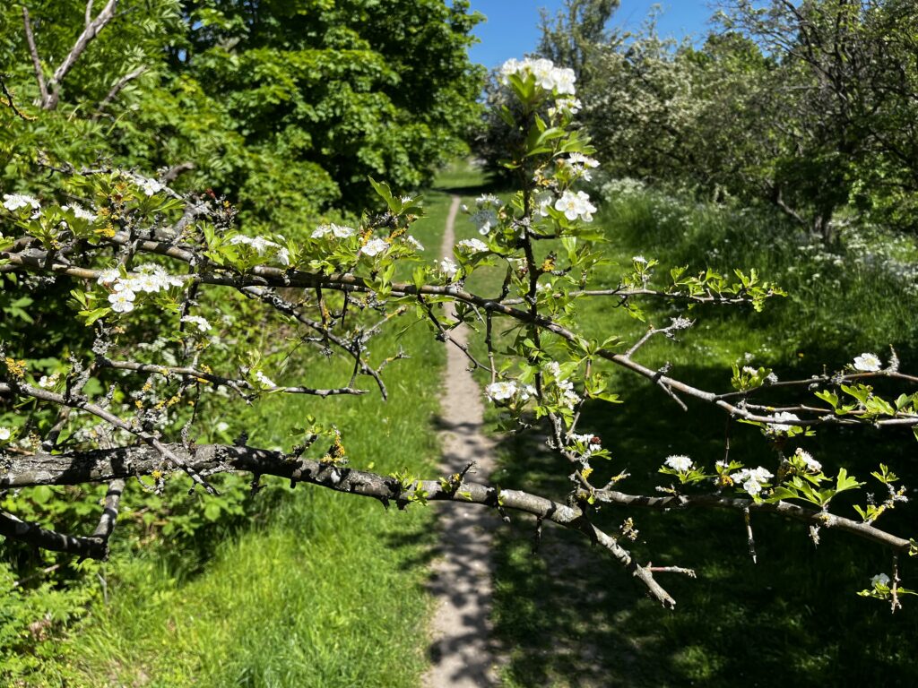
The path is gravel or occasionally paved road and it is all very well maintained. At 15 kilometres (9 miles), it makes for an easy day hike. I chose to continue north through Utterslev Mose, an area of bird filled wetland, to make the total trip 20 kilometres, but you are of course free to ‘hop off’ at either end of Vestvolden.
Highlights
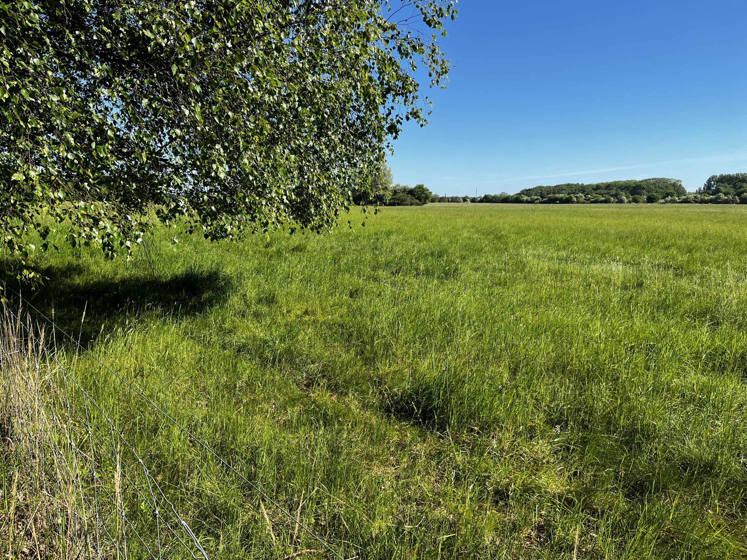
The quiet hike itself is the main attraction. You will see ducks and geese and chirping birds. You will also encounter friendly sheep roaming free along the way. There is an exhibition centre too, but I have not had the pleasure myself.
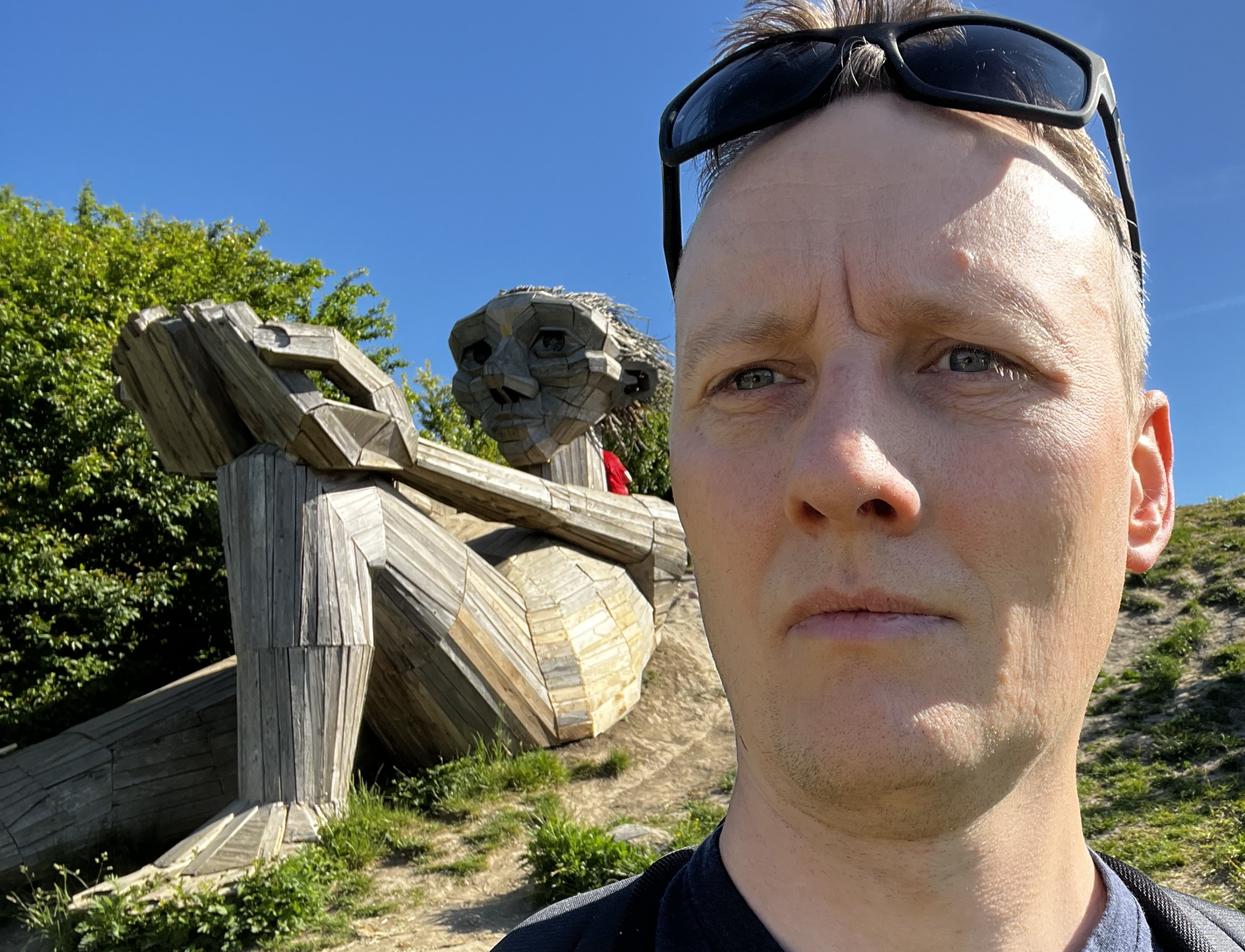
You could, however, also veer off track at a couple of points to find up to two of the amazing wooden giants by artist Thomas Dambo. Hilltop Trine is resting to the east of Vestvolden not far from its’ southern end. Well worth a detour. Sleeping Louis is fun to meet too. He is only a short detour away from the trail.
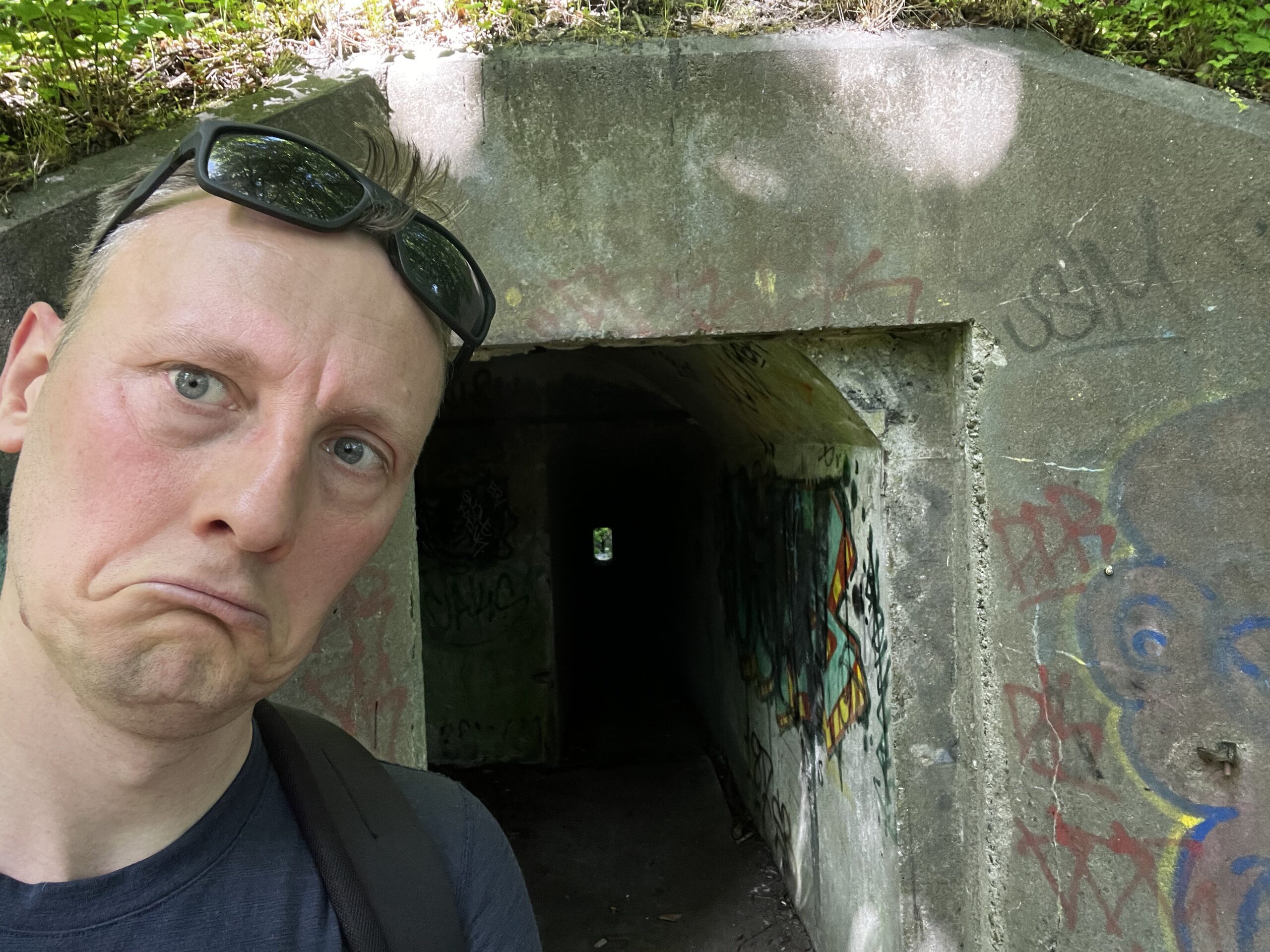
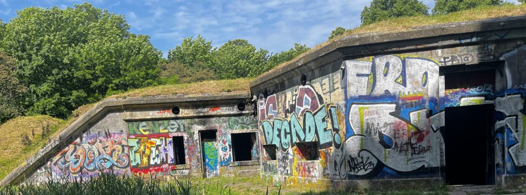
Finally, you should definitely enjoy and maybe explore some of the concrete fortifications. They are spooky and dark, but kind of exciting too. The best ones are located at the following GPS coordinates:
- Roughly half way up or down the trail at: ‘N 55 41.671, E 012 26.531’ Feel free to climb inside through the window. Carefully!
- Close to Husum Station at: ‘N 55 42.964, E 012 28.009’ This one is easily entered, as you can walk right through a doorway.
I have marked the positions of both giants and both fortifications in my downloadable GPX-file.
Safety
Safety is no concern at all. Though it feels uncrowded, you’re never far from civilization, and you’ll meet plenty of people on foot and bike. After all, you are literally IN the suburbs of Copenhagen.
Also, it would take an extraordinary effort to get hurt or lost on this trail – it is a quiet stroll, not a wilderness adventure. But a lovely stroll, to be sure.
Recommended direction to hike
You can hike from north-to-south, ending close to Avedøre train station, or from south-to-north ending on Husum train station (15 km.). Unless you want to continue north trough the Utterslev Mose ending at Emdrup train station (20 km.)
Both directions are lovely, but I would probably recommend starting in the south. If only because you will have the sun behind you.
I have made GPX files for either direction which you can freely download.
Getting to the trailhead and back
For this section, I will assume that you are taking off from somewhere in central Copenhagen using public transportation.
Don’t go by car. There is no point.
You need to reach Avedøre Station, Husum Station or Emdrup Station depending on where you want to start and how far you want to walk.
Go to one of the stations in central Copenhagen. Use a travel app or just buy a ticket at the station. It’ll set you back about 3 € (4 $) and the trip will take about 20 minutes. Trains leave any of the stations at 10- or 20-minute intervals, so very frequent.
North to South
Going NORTH to SOUTH, but only hiking Vestvolden itself (15 kilometres), you need to grab S-train line C towards Frederikssund. Get off the train at Husum Station and leave the platform by walking up the western stairway. You will be directly on the trail and just need to head south for the rest of the day.
If you wish to begin by crossing Utterslev Mose, making the trip around 5 kilometres longer, you should take the S-train line B towards Farum. Get off the train at Emdrup Station and follow the trail using my GPX-file.
Once you reach the end of the journey you can just follow the last part of the trail from my GPX-file to Avedøre Station, where the S-train line A towards Hillerød will take you home in no time.
South to North
Going SOUTH to NORTH you just have to do the opposite of above:
From Copenhagen, take S-train line A towards Køge and get off at Avedøre Station. Hike west to reach Vestvoldens southern endpoint and then head north for the rest of the day.
Leave the trail at Husum Station for at shorter trip. Grab the C-train towards Ballerup and you’ll be back in central Copenhagen in no time.
Or continue following Vestvolden to its imminent end for a longer trip. And then continue north-east trough Utterslev Mose for 5 more kilometres, using my GPX-file to reach Emdrup Station. Grab S-train line B towards Høje Taastrup and enjoy a short ride to central Copenhagen.
Have a great hike!
What to pack
There are no special needs since this trail is a walk in the park that could be done in say 3 to 5 hours.
There are only a few water sources, so carry a 1-liter-bottle or so.
Some lunch, snacks, sunblock and appropriate clothing is everything else you will need. Oh, and obviously your smartphone and power bank.
Facilities
SHOPPING
You wont really need it on such a short trip. Get the snacks you need in central Copenhagen and then off you go with no further need for shopping. If you MUST find an ice cream or coffee, than you will never have to go too far off track since the city is all around you for the whole stretch – just do google maps.
WATER & TOILETS
About 1 liter of water should get you through, so you wont really need to find water sources en route. Still, the few options, I know of, are listed below for your convenience. Two of those are toilets, but do note that these public toilets are both located towards the northern part of the trail. I have marked all of this in my handy GPX-file.
- Coming from the very north end of Vestvolden your first public toilet with drinkable water is soon reached. The coordinates are: ‘N55 43.016, E012 28.745’
- Close(ish) to Husum Station, there is a public toilet with drinkable water. It is a bit off the Vestvolden trail at the precise address Kagsvangen 31. The coordinates are: ‘N55 42.625, E012 27.507’
- There is a water post (not a toilet) after 10 km. going north to south. The coordinates are: ‘N55 39.242, E012 25.538’
- If you choose to add the trip across Utterslev Mose to your hike, you can find toilets close by which have drinkable water. The most convenient one is at these coordinates: ‘N55 43.003, E012 30.863’
I believe that’s all you need to know. Do check out a tour description and pics from the blog-links below. Or even better! Watch me hiking Vestvolden on my YouTube channel.