Hiking Amarminoen
Enjoy a varied landscape hiking Amarminoen and pleasurable hike on a 27 kilometer daytrip right on the doorstep of cool Copenhagen!
All you need before hiking
Learn more about hiking Amarminoen. From essential tips to downloadable GPX files; it’s all right here. Dive into my 2025 adventure blog packed with photos. Or better yet, join me on the trail by watching my hiking video on YouTube.
A perfect one-day hike
Should YOU hike the trail?
YES, you really should.
The amazing contrast between Copenhagen’s vibrant urban life and the serene meadows, forest and coastline just outside the city centre. I cannot recommend this hike enough even for non-hikers, as it requires minimal effort and preparation.
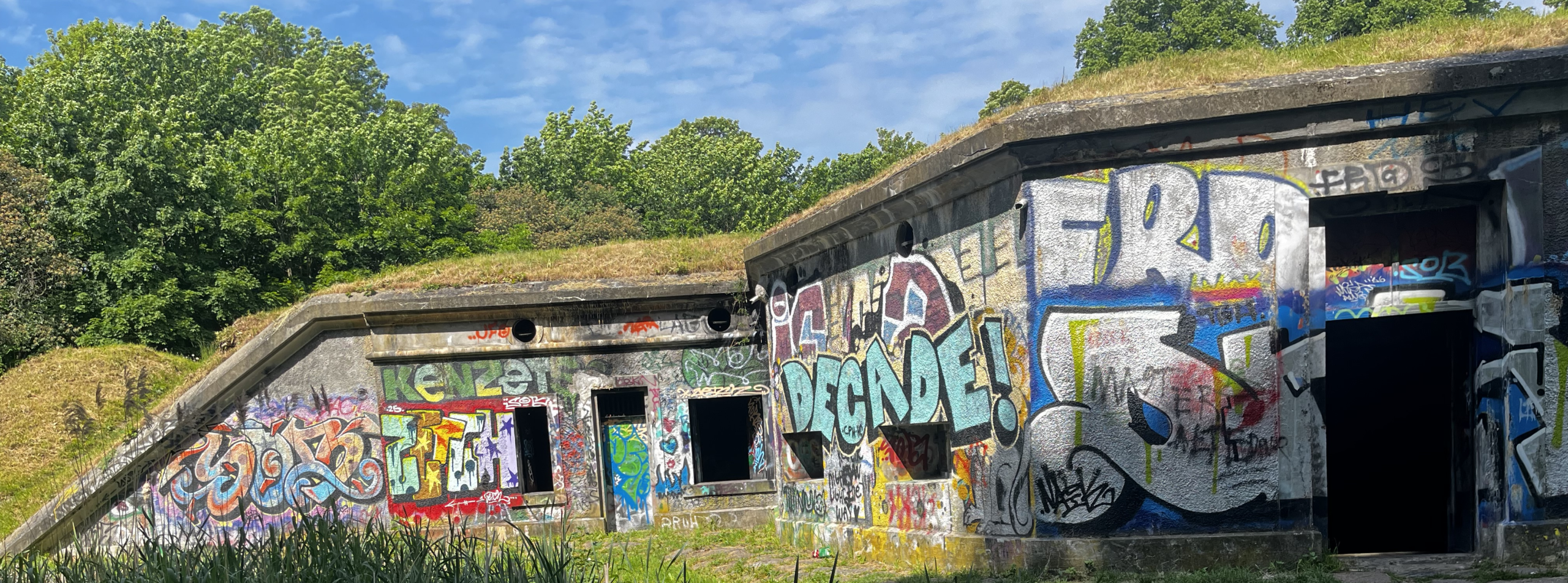
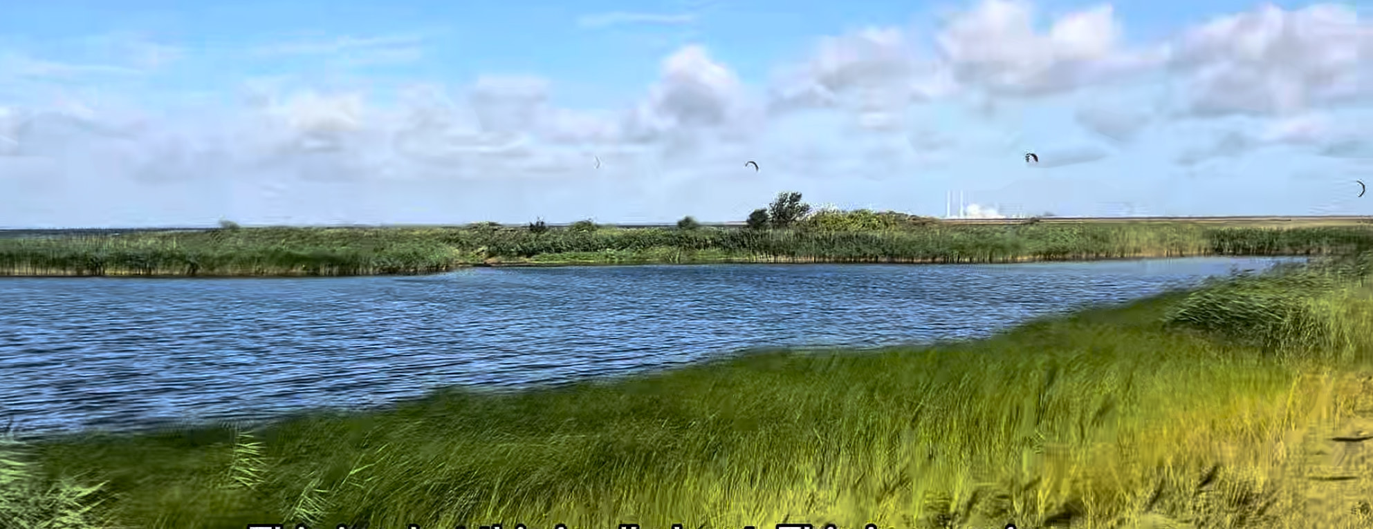
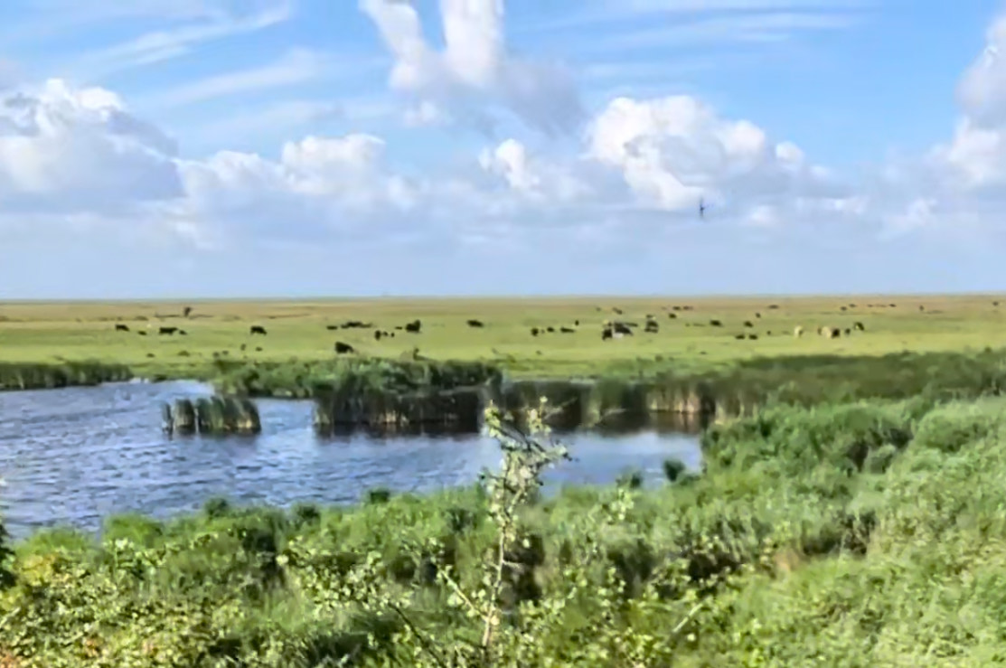
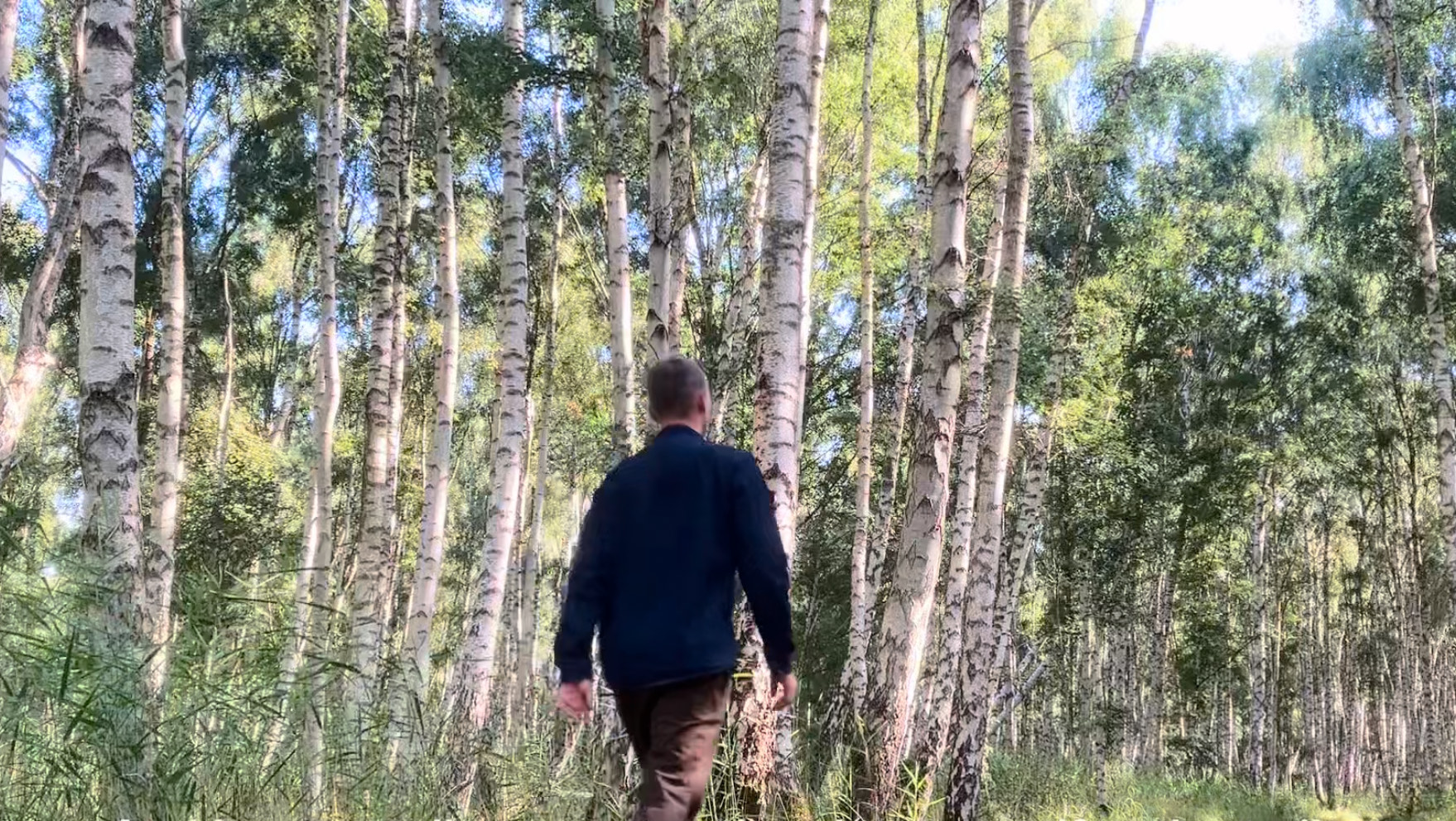
Enjoy a soothing journey through diverse woodlands, wild meadows with cows and chirping birds and along a bit of the pittoresque Baltic Sea coastline. Plus, you get to either start or finish your adventure in the charming village of Dragør which is a delightful tourist attraction on its own.
Map of Amager and the Amarmino
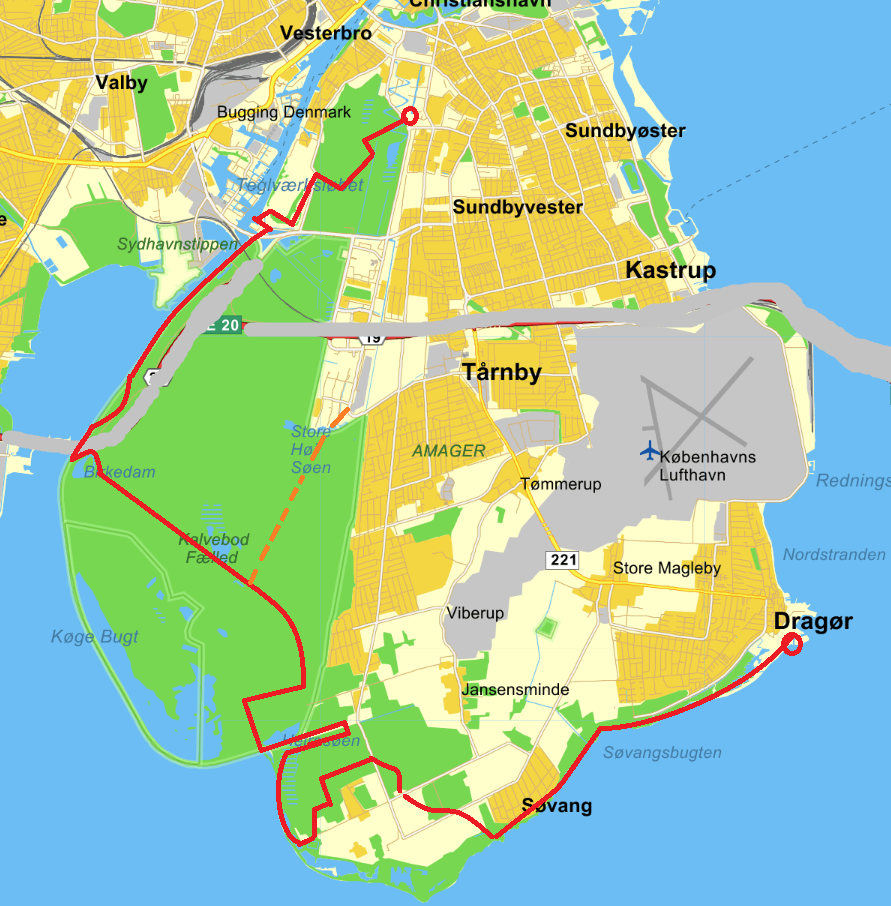
The Amarmino is a well-marked, high-quality hiking path with excellent facilities and easy access from Copenhagen. At 27 kilometers (17 miles) long, it makes for an easy day hike for most people. You can also ‘hop off’ around halfway and still get a good impression of the hike (marked with an orange line on the map above).
If you’re into camping, there are nice shelters and campsites along the route.
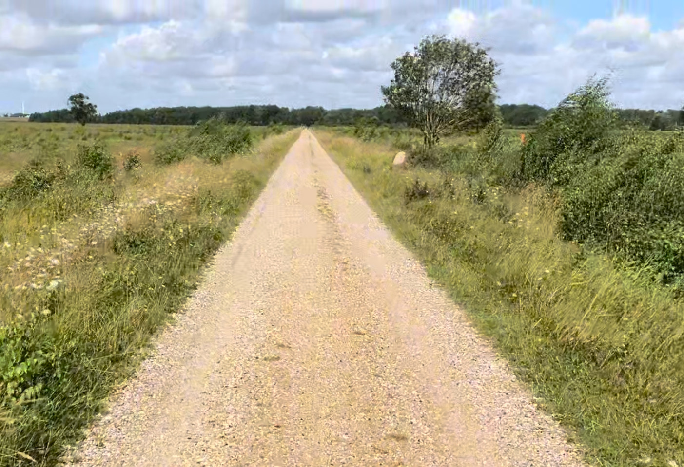
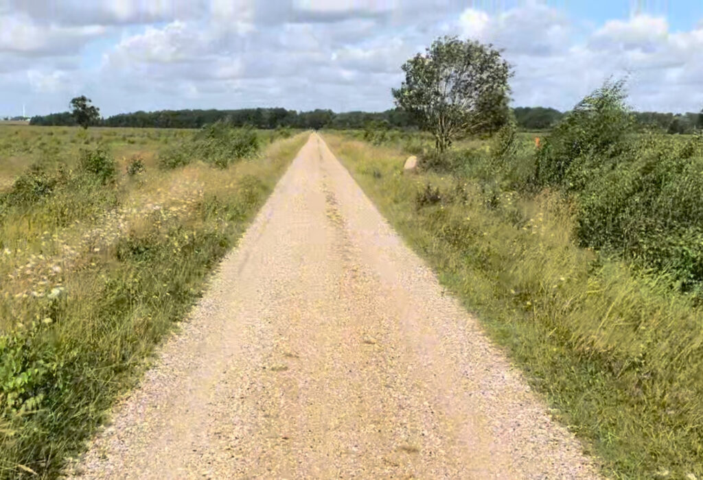
The trail is mostly flat with well-maintained gravel paths. You’ll also enjoy a few forest paths that might be muddy after rain but are otherwise a pleasure to walk.
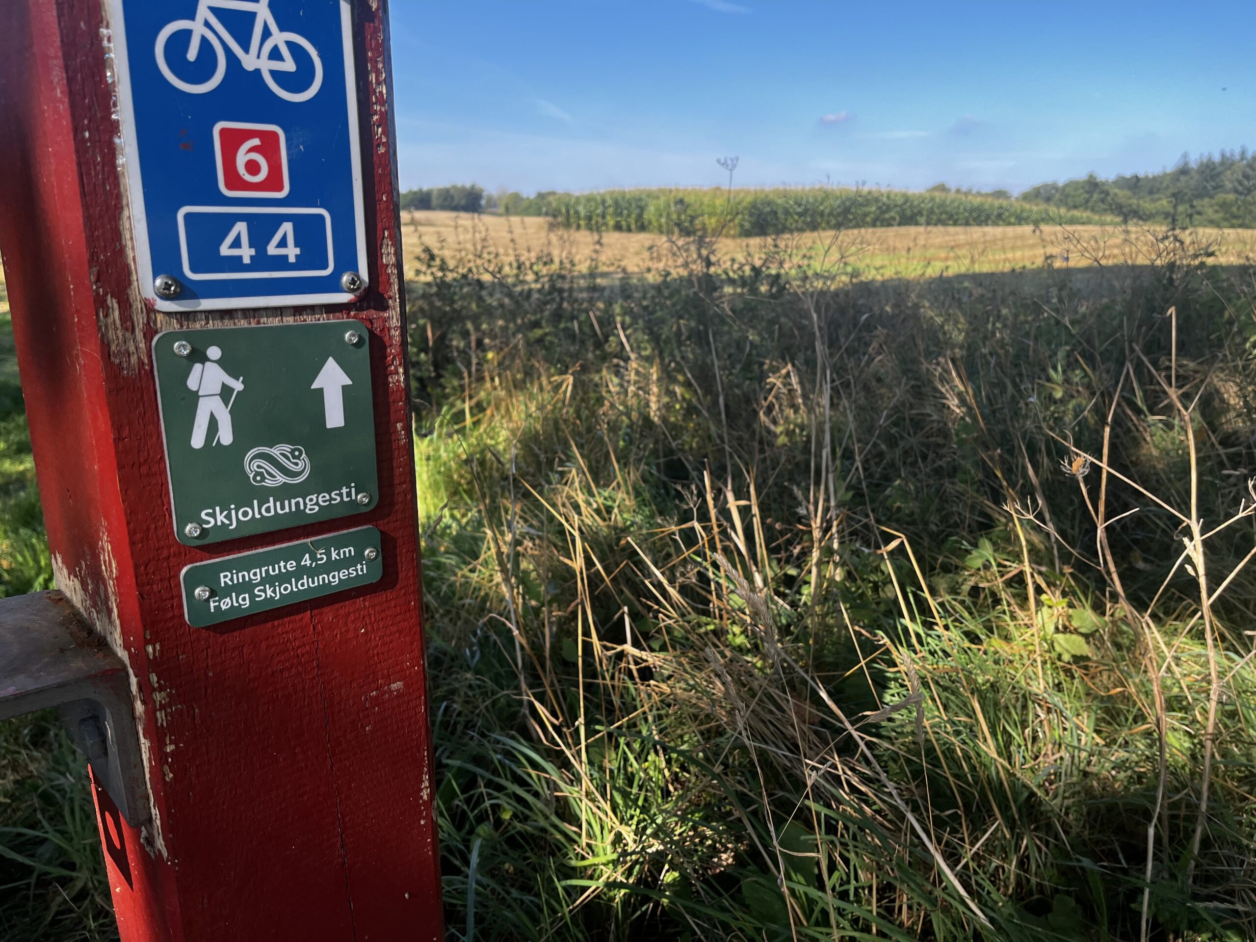
There are only a few short sections of paved road. The whole route is well marked with the distinctive drop-of-water symbol. I still recommend using a wayfinding-app as a backup in case you do get lost.
Safety
Safety is no concern at all. Though it feels nicely secluded, you’re never far from civilization, and you’ll encounter people on foot and bike. The only potential nuisances are stinging nettles and ticks if you wander off the path, but even they are no cause for concern. Also, you’ll have phone and internet connectivity the whole way.
Recommended direction
You can hike from north-to-south, ending in the charming village of Dragør, or from south-to-north, starting in Dragør.
Both directions are lovely, but I would probably recommend starting in the north. Finishing in Dragør gives you a chance to enjoy a beer or early dinner, soaking in the small-town charm to celebrate your achievement. If you still have the energy, explore Dragør a bit more before catching a bus home.
I have made GPX files for either choice which you can freely download. They include water posts, toilets, camp sites, points of interest and the ‘hop off’-option if you want the quick version of the Amarmino:
- GPX-file for going north to south ending in Dragør
- GPX-file for going south to north starting in Dragør
Getting to the trailhead and back
For this section, I will assume that you are taking off from somewhere in central Copenhagen using public transportation, but if you happen to be staying near the airport, than you are even closer to the Amarmino and just have to find a suitable route via Google Maps.
Generally, there is no point in going by car, but if you must, you could park in either end (for a fee) and get back to the starting point by taking the bus and metro.
Specific directions from Copenhagen
Anyway, here are the detailed directions for getting from central Copenhagen to the Amarmino and back.
If you have a Danish Travelcard or some kind of tourist pass (though the ‘City Pass Small’ will not be enough to get to/from Dragør), you can use those for both bus and metro. Otherwise, a one-way ticket can be bought on any metro station using most credit cards or cash. Don’t board the metro without a ticket – you cannot acquire a ticket on board and controls are frequent with heavy fines for non-ticket-holders.
When taking the bus to/from Dragør, you CAN in fact purchase a ticket from the driver, but you will need cash in fairly small denominations.
Bus service is frequent during daytime, and the metro is in constant service day and night.
The price is around 25 kroner (3 euros) for the metro trip between Copenhagen and the north point of the Amarmino, while the bus trip between Copenhagen and the south point at Dragør will set you back around 35 kroner (5 euros). Less in all cases if you are using a Danish Travelcard.
North to South
Going NORTH to SOUTH you will want to grab a metro (line M2) to the northern starting point which is at this adress:
Emil Holms Kanal 20, 2300 Copenhagen
GPS-coordinates for the start point, which can be used with Google Maps etc. are: ‘N55 39.277, E012 35.305’
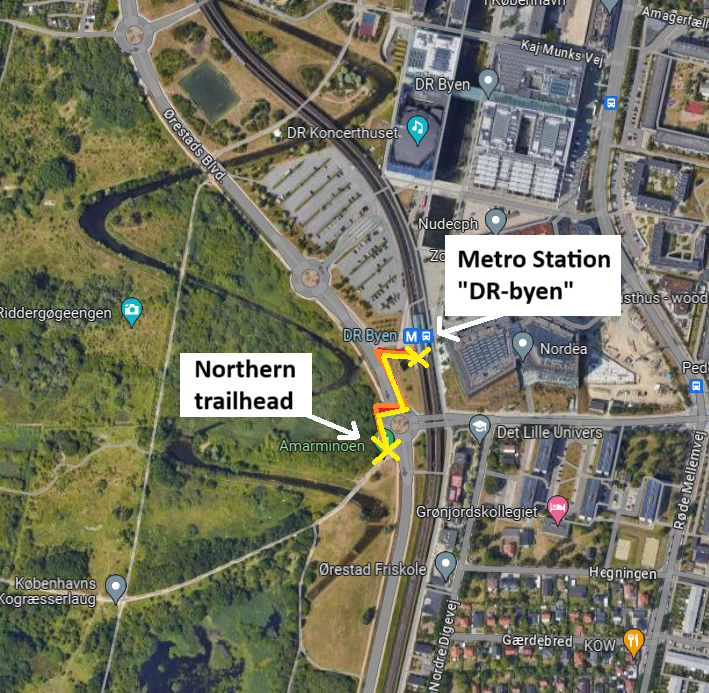
However, you will likely need neither coords nor address. Just jump on the train at any of the metro M2 stops (‘Kongens Nytorv’ for example) making sure that the train is going in the direction of ‘Vestamager’. Your stop is called ‘DR Byen’ and it will likely be a ten minute trip or less depending on where you get on. Leave the train and the station. Cross the only major road in the vicinity while easily spotting the first woodland to enjoy (‘Amagerfælled’) on the other side. Find the roundabout 30 meters to your south and enter the dirt path at the clearly marked Amarmino start point. Have a great hike!
Once you reach the end of the journey in Dragør and are ready to leave (please take some time to explore first, though!!) you need to find the closest bus stop for the only bus in the area. Bus 250S.
The closest bus stop to the Amarmino end point is called ‘Dragør Skole (Vestgrønningen)’. You will find it by walking left from the end point following the small road ‘Drogdensvej’ towards west. Turn right after 250 meters at the slightly larger road ‘Vestgrønningen’ and continue another 300 meters to the bus stop.
You will want to jump on bus 250S going south, but even if you go in the wrong direction, I believe the bus reaches its end point very soon and then turns around to go in the direction you want.
Get off the bus in central Copenhagen after driving for 50 relaxing minutes. A good choice for ending your trip is ‘Rådhuspladsen’ (Town Hall) which is smack in the middle of everything. Close to restaurants, shopping, Central Station and even Tivoli Gardens though you will be too tired for that. Well done!
________________________________________________________________________________________________________
South to North
Going SOUTH to NORTH you have to find a bus (line 250S) to the southern starting point in the village of Dragør:
Here are the GPS-coordinates for one possible bus stop close to ‘Rådhuspladsen’ (Town Hall), ‘Tivoli gardens’ and Copenhagen Central Station, which can be used with Google Maps etc: ‘N55 40.533, E012 34.015′
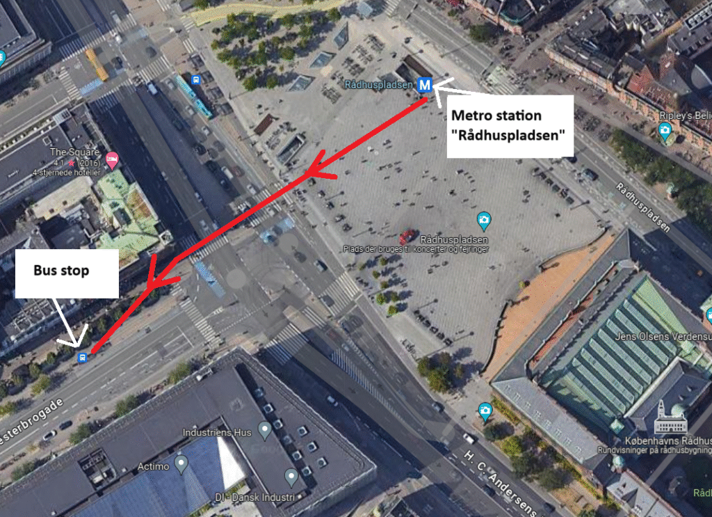
Or, if you feel lucky, simply go the beginning of the street ‘Vesterbrogade’ just across from ‘Rådhuspladsen’. Opposite side of the road to the Tivoli main entrance. You should be able to see the yellow sign at the bus stop.
The trip will take about 50 minutes before you need to get off at a stop called ‘Dragør Skole (Vestgrønningen)’. Think about getting off soon, if you are seeing a beach and open ocean through the right-side bus windows – you are close to your destination.
Once off the bus, you have to backtrack south on foot about 300 meters and then turn left to follow the small road ‘Drogdensvej’.
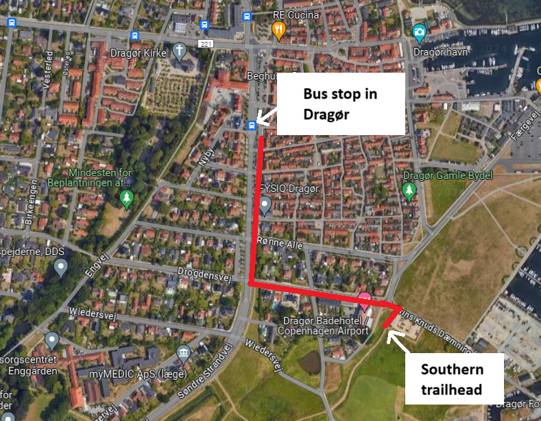
After 250 meters, you will easily spot the dirt path at the clearly marked Amarmino start point.
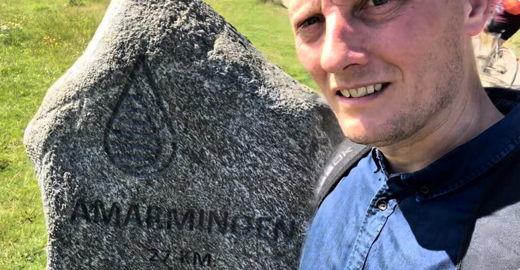
The GPS-coordinates for this place are ‘N55 35.419, E012 40.439’
Have a great hike!
Once you reach the end of the journey and emerge from the woodlands, you will see the metro station across the well trafficked road and 100 meters to your left.
Not much is here, but you could continue past the station to find a place for getting a celebratory beer and some snacks.
Once you reach the station itself, board any train heading for ‘Vanløse’ and get off at any central Copenhagen stop depending on where you need to go. Well done!
What to pack
There are no special needs as this is a highly accessible trail which is easy to hike in half a day.
There are only a few water sources, so carry a 1-liter-bottle or so.
Some lunch, snacks, sunblock and appropriate clothing is everything else you will need. Oh, and obviously your smartphone and power bank.
Camping, shopping, water and facilities
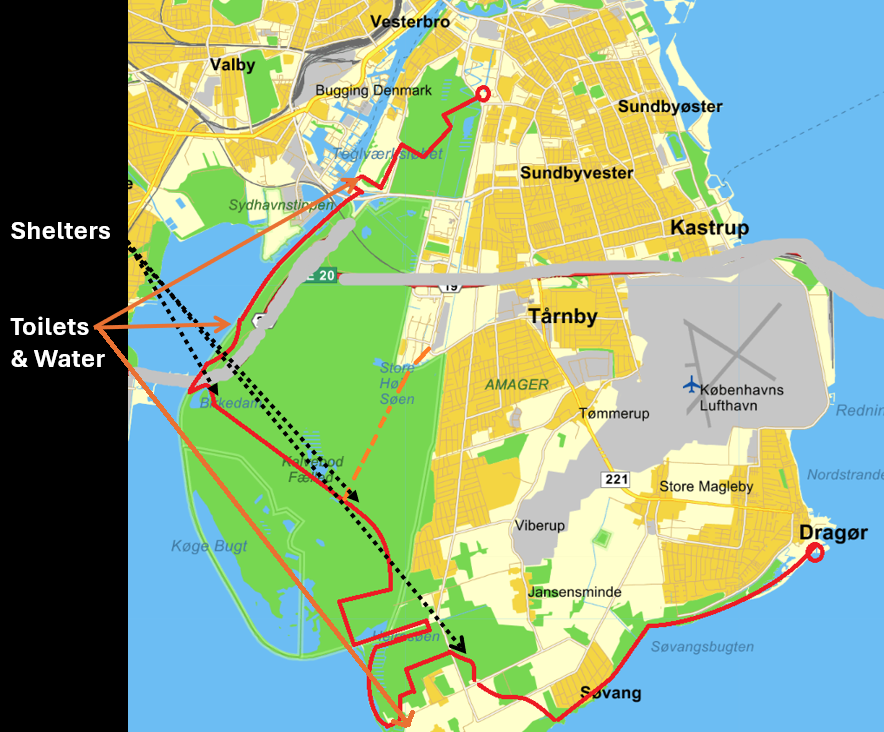
Here is a slightly dodgy map that I’ve concocted. Maybe it will provide some overview, but read the details below, please.
CAMPING
While you obviously don’t have to think about spending the night due the short distances involved, you may WANT to camp in one of the shelters available or in your tent. Here’s a few tips:
- Coming from Dragør (going south to north) after 7 km. you can spend the night in a shelter guarded by the wooden giant “Bjarke Stonecircle”. It has primitive toilets, but NO water. The coordinates are ‘N 55 34.186, E 12 35.835‘
- After 12 km. you can find an area with free of charge shelters with primitive toilets available. No water though. Shelters can be booked for free here.There is also plenty of places to pitch a tent. Find the area roughly at coordinates ‘N 55 34.708, E 12 33.475’
- After 17 km. you will find the Birch Pond (Birkedammen) and it’s shelter and tenting site. There are NO toilets and no water. It is possible to book the shelter for free here. Coordinates are ‘N 55 36.755, E 12 31.025’
SHOPPING
There are plenty of options in either end of the trail, but not much once you start the hike itself.
WATER
- There are two convenient places with water readily available. Going south to north, there is a toilet with running water just a bit off track after 10 km. at coordinates N 55 33.753 E 12 34.057. And then after a total of 18 km., there is a toilet and water tap roughly at coordinates ‘N 55 37.373, E 12 31.502’
- However, towards the very end (or start), you can find water at a public toilet here: ‘N 55 38.547, E 12 33.274’
TOILETS
- See coordinates above in the “water” section – the only two easily accessible toilets en route are also the only places to get water.
That was all you need to know. Now enjoy a tour description and pics from the blog-links below. Or even better! Watch me hiking the Amarmino on my YouTube channel.